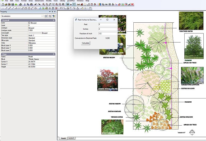
Entering lengths when creating a base map for your landscape designs when working in Imperial units can be challenging. We have developed a small application that assists convert distances in feet and inches to decimal feet ready for gCADPlus. The figure below shows the application FtInches ‘Floating’ on top of a gCADPlus design for a site in the USA.
Use our FtInches converter

Download the FtInches converter.
Tip: Unpack with WinZip or search for and install 7Zip – a free file compaction application.
An alternative method for converting feet and inches to decimal feet
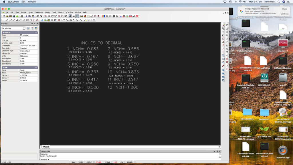
If site measurements are recorded in feet and inches, you may find conversion easier with a small table. You will find the table in the gCADPlus Library > Details >Conversion. Insert the drawing as a block and refer to it as you create a base plan. The figure below shows the table in the gCADPlus Mac environment.

Here is a link to download a copy of the table as a gCADPlus block.