gCADPlus is a landscape design software application designed for professional landscape and garden designers. Both individual practitioners and multi-person design studios widely use it. Skilled garden designers choose gCADPlus for its high-quality landscape CAD design capabilities, free upgrades, and extensive support services. Our support includes various services, such as improving drafting efficiency through custom templates and localized plant databases and offering online and personalized training for staff members, among other benefits.
The design interface
gCADPlus professional landscape design software works in an elegant, stripped-down interface.
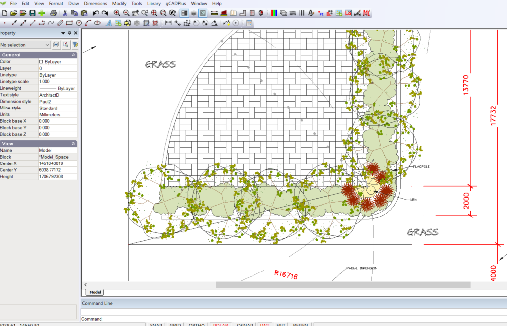
AutoCAD users feel at home because the interface and commands are familiar.
Productivity tools
The software has many features that allow you to:
- – Automate many repetitive landscape design tasks, such as counting symbols in automatically generated plant schedules,
- – Extract quantities ready for costing a design,
- – Calculate numbers of ground cover species,
- – Automate the labelling of symbols for individual species,
- – Easily substitute one species for another,
- – Incorporate Google Maps/Earth images and other aerial site data directly into drawings,
- – Add extra value to your design and add extended data for both ‘hardscape’ and ‘softscape’ data, be that irrigation, outdoor furniture, paving, or plant species information,
- – Extract that data into spreadsheets for further manipulation.
Symbol library
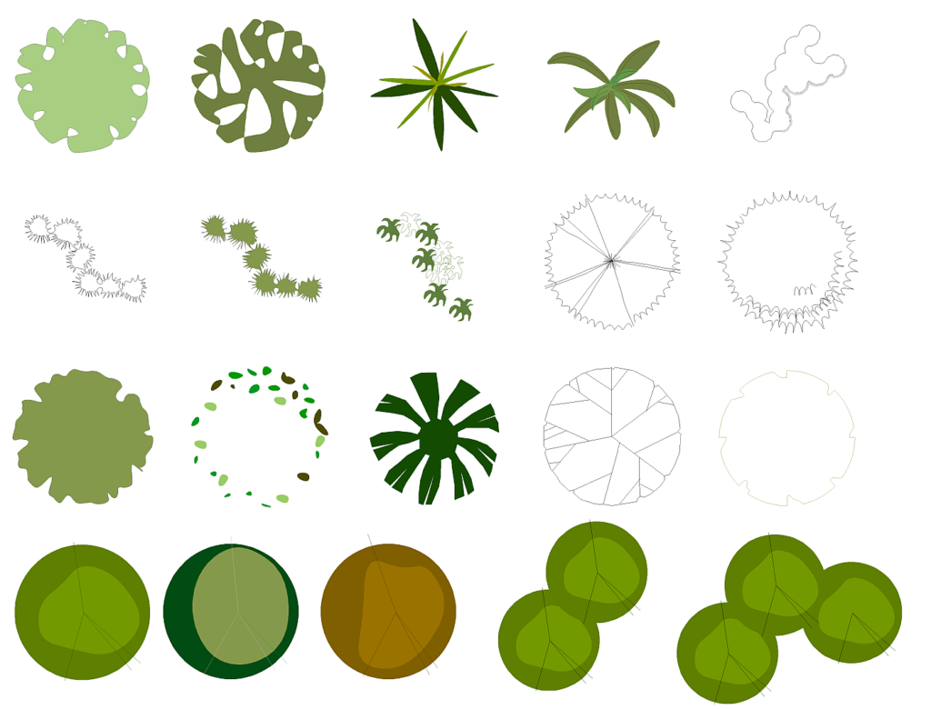
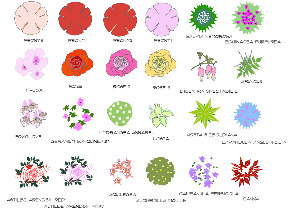
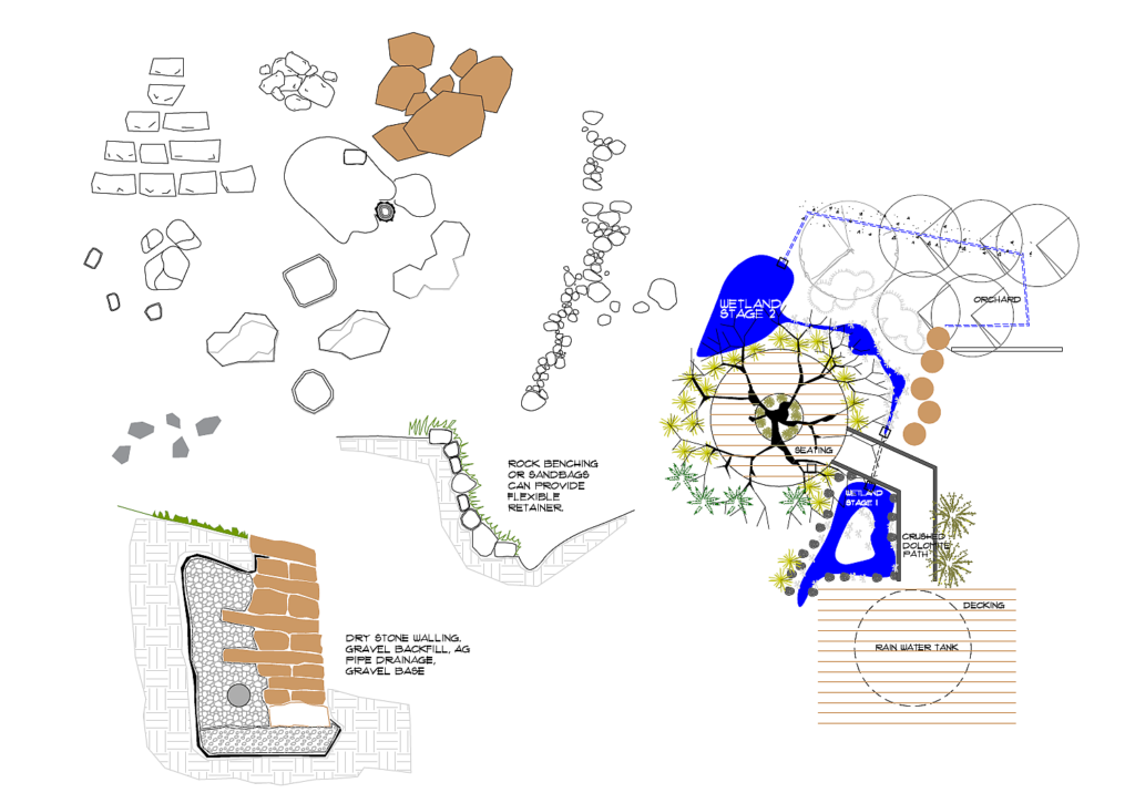
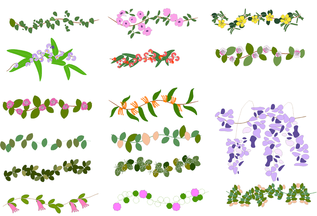
Choose from hundreds of quality plant professional landscape designs and hardscape symbols. Click on the images below to view sample symbols.
Smart plant labelling
![]() This tutorial will show you how to use the SmartLabel tool in gCADPlus to label and manage plant symbols. With this tool, you can add labels with botanical names, common names, and other details to the symbols. The SmartLabel tool allows you to customize the line spacing, justification, and text editing. The label information is retrieved from a plant database file accompanying the design. These database files are straightforward to create and typically contain details about plant species recommended for the specific location of the design.
This tutorial will show you how to use the SmartLabel tool in gCADPlus to label and manage plant symbols. With this tool, you can add labels with botanical names, common names, and other details to the symbols. The SmartLabel tool allows you to customize the line spacing, justification, and text editing. The label information is retrieved from a plant database file accompanying the design. These database files are straightforward to create and typically contain details about plant species recommended for the specific location of the design.
Broadscale plant labelling
![]() I use the gCADPlus broadscale labelling toolbox tools to develop and label a design for planting native species in a corridor. The site owners are keen naturalists and want a master plan for developing a site in central Victoria. The master plan includes a suggested planting scheme and a list of plants in a section of the wildlife corridor 20 meters long by 5 meters wide, with typical planting of native species. They are eager to link this type of planting to similar plantings on adjoining properties. The aim is to allow native wildlife to move freely across neighbouring properties supported by abundant native plant food types.
I use the gCADPlus broadscale labelling toolbox tools to develop and label a design for planting native species in a corridor. The site owners are keen naturalists and want a master plan for developing a site in central Victoria. The master plan includes a suggested planting scheme and a list of plants in a section of the wildlife corridor 20 meters long by 5 meters wide, with typical planting of native species. They are eager to link this type of planting to similar plantings on adjoining properties. The aim is to allow native wildlife to move freely across neighbouring properties supported by abundant native plant food types.
Use custom templates
Here is one example of our support where we assisted in developing a user’s template.
