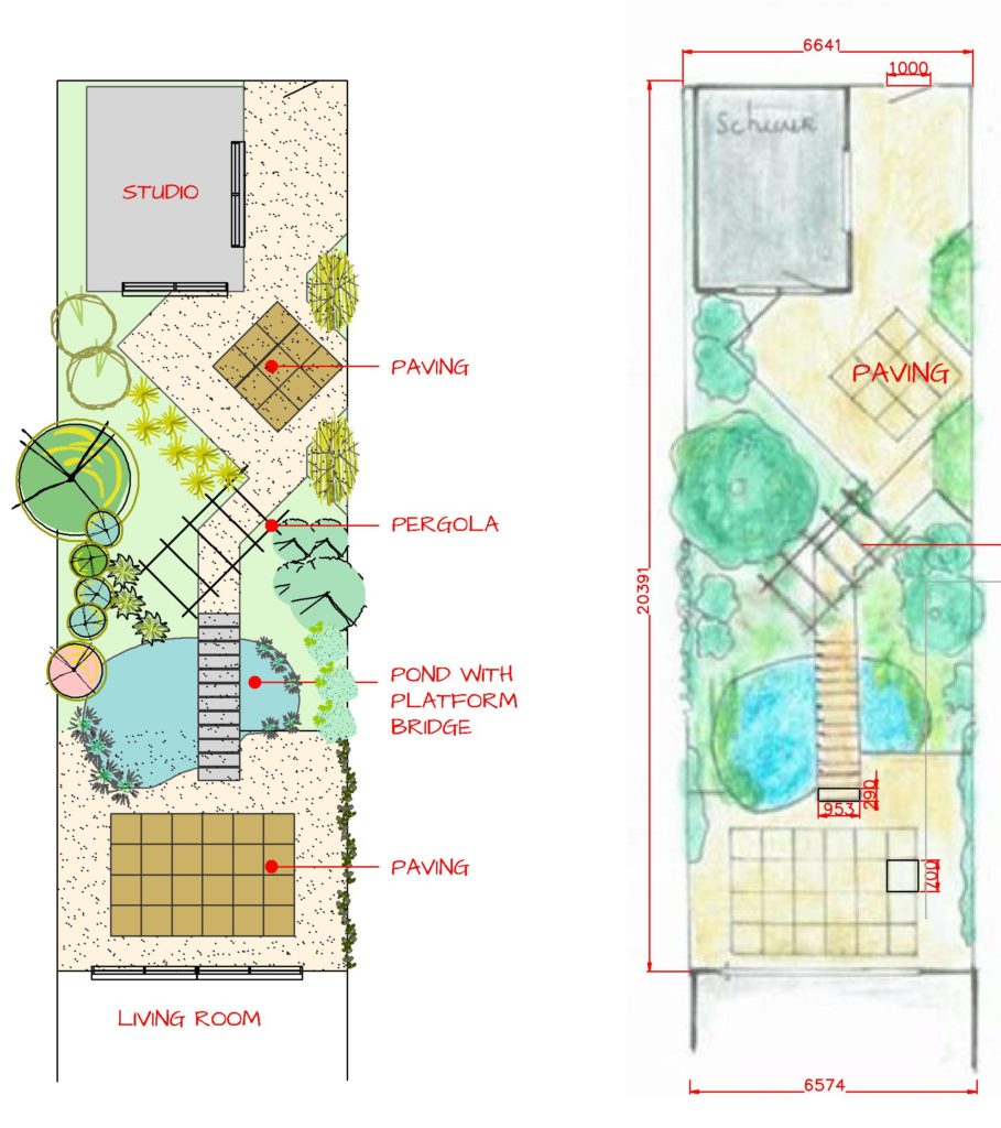
Transitioning from hand-drawing landscape plans to working with CAD software can be challenging. Here, we show how to convert a hand-drawn plan with measurements in mm into a finished CAD drawing. In the video, we develop a CAD version of the sketch design shown on the right in the figure below.

![]() This video shows how to recreate a hand-drawn landscape plan using gCADPlus software. The garden space is small but crammed with interest. The line command accurately defines the site; the block command creates some large-format pavers, a ‘bridge’ spans a small pond with riparian planting, a pergola is set at 45 degrees to the rectangular space, and so on.
This video shows how to recreate a hand-drawn landscape plan using gCADPlus software. The garden space is small but crammed with interest. The line command accurately defines the site; the block command creates some large-format pavers, a ‘bridge’ spans a small pond with riparian planting, a pergola is set at 45 degrees to the rectangular space, and so on.